Improving management of Samoa’s oceans through Geographic Information Systems (GIS) training
Today, a training on the use of Geographic Information Systems (GIS) was completed successfully in Apia with more than 35 GIS practitioners from within the Government of Samoa (GOS) and Government Corporations.
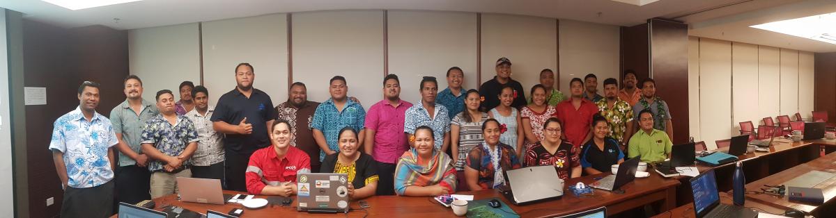
Photo: John Kaitu'u/IUCN Oceania
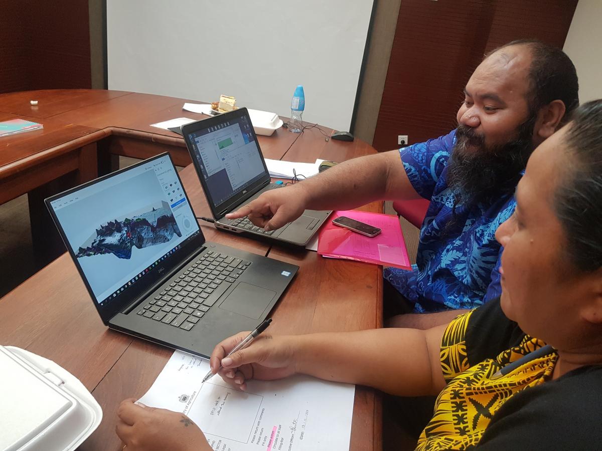
Photo: John Kaitu'u/IUCN Oceania
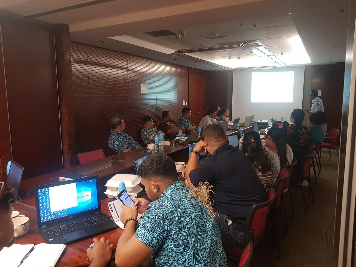
Photo: John Kaitu'u/IUCN Oceania
The main objective of the training was to build the capacities of GOS and Government Corporations to increase their access to, and their skills in spatial data management, storage and use of GIS in natural resource planning.
The training was organised by the Section of National Mapping under the Technical Division of the Ministry of Natural Resources and Environment (MNRE) and facilitated by GIS Technical Officers from the International Union for Conservation of Nature’s Oceania Regional Office (IUCN-ORO). This is the first of a number of GIS training sessions as part of a broader Project to develop a marine spatial plan for Samoa’s entire ocean. The 4 year Project "Global Climate Change Alliance (GCCA+) initiative for climate adaptation and resilience building in Samoa" is supported by the European Union along with technical support from IUCN-ORO and hosted by the Government of Samoa under the Ministry of Natural Resources and Environment (MNRE).
The Head of Cooperation of the Delegation of the European Union (EU) for the Pacific, Mr Christoph Wagner, said “the EU is very glad of the partnership with the Government of Samoa and IUCN. Marine spatial planning is a key tool to promote the sustainable development and growth of the maritime and coastal economies by balancing demands for development with the need to protect marine ecosystems. Strengthening the capacity of key national stakeholders is fundamental to ensure effective planning and resources management and we are eager to support GIS practitioners in building up their skills.”
Participants were trained on how to operate and use QGIS (a freely available GIS software) to view, edit, create new spatial data, calculate area and distance and how to conduct spatial analysis using national data on key biodiversity areas, marine managed and protected areas. They also learnt how to upload GPS collected field data into the GIS to create new spatial data layers and how to conduct table joins.
“There was great enthusiasm and active learning from participants. The interactive learning environment and flexibility of the training program was beneficial to all participants” said Mr Hans Wendt, Spatial Analyst at IUCN-ORO.
The training was attended by Government Officers from the Ministry of Natural Resources and Environment (MNRE), Ministry of Agriculture and Fisheries (MAF), Ministry of Works, Transport and Infrastructure (MWTI), Ministry of Communication and Information Technology (MCIT), Samoa Fire and Emergency Services Authority (SFESA), Samoa Bureau of Statistics, Land Transport Authority (LTA), Electric Power Corporation (EPC), Land Link Services, Samoa Water Authority (SWA) and Samoa Land Corporation (SLC).
“This was a well-received training and we are looking forward to the more advanced GIS training now planned for early 2020” said Mr Faatauvaa Tavita from the Samoa Fire and Emergency Services Authority (SFESA).
This training was hosted by the Ministry of Natural Resources and Environment with funding support from the European Union GCCA+ project and technical support from IUCN.
If you would like more information, please contact Mrs Telesia Sila, Principal Officer, Mapping Section, Ministry of Natural Resources and Environment (MNRE) and Mr Hans Wendt, Spatial Analyst (hans.wendt@iucn.org).

S’abonner à un bulletin de l’UICN.