Experts gather to review first “draft map” of the Vanuatu marine spatial plan
Twenty national experts in Vanuatu gathered for a two-day workshop to review the country’s first-ever zero-draft marine spatial plan and discuss the upcoming new Ministry of Fisheries and Oceans. The zero-draft map was produced by IUCN following a series of technical Geographical Information System (GIS) analyses and spatial prioritisation with the inclusion of data from national, regional and first round of community consultations and input from experts over the last three years.
Photo: Vanuatu National Ocean Policy
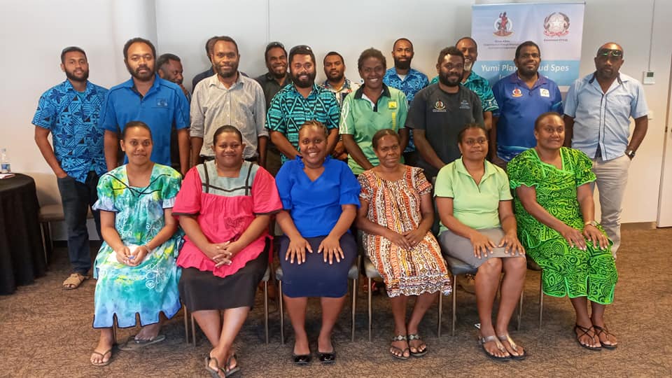
Photo: Vanuatu National Ocean Policy
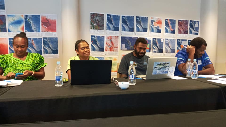
Photo: Vanuatu National Ocean Policy
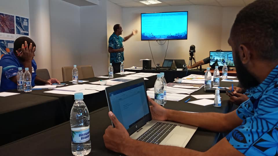
The key objective of this workshop was to review and refine the still “Zero” draft of a map of candidate Ocean Zones for Vanuatu and to prepare an acceptable draft map of candidate Ocean Zones. This refined map will be used as a basis for the second round of national marine spatial planning consultations.
Vanuatu is the first country in the Oceania region to develop its National Ocean Policy and the Marine Spatial Planning (MSP) process is a key component of the Policy. The MSP process is being guided by the Ocean Policy Implementation Sub-Committee –a multi-Ministerial Sub-Committee belonging to the National Committee on Maritime Boundary Delimitation that reports directly to the Council of Ministers. It is co-chaired by the Ministry of Foreign Affairs, International Cooperation and External Trade and Ministry for Climate Change Adaptation, Meteorology, Geohazards, Environment, Energy and the National Disaster Management Office.
“The Vanuatu MSP is a collaborative planning process between key Ministries within Government and development partners to better manage the ocean and its resources. The first zero draft map has brought key stakeholders together for two days to review and map out the next steps for Vanuatu’s MSP process. This exciting yet challenging opportunity, allowed experts to visualize through the lens of the Blue Economy concept against the collaborative build-in of an ecologically representative network of MPAs for Vanuatu. A final draft map will be the output of this workshop and this map will be taken out for the second round of provincial and nation-wide public consultations, said Mr Toney Tevi, Head of Maritime and Ocean Affairs Division, Department of Foreign Affairs and International Cooperation.
The objective of the MSP throughout Vanuatu’s ocean is to have spatial zoning that identifies priority areas for development and for conservation that separates conflicting uses and builds resilience to climate change impacts and disasters.
“IUCN would like to acknowledge the efforts by the Ocean Policy Implementation Sub-Committee and national experts in Vanuatu for progressing the Marine Spatial Planning (MSP) component of the Vanuatu National Ocean Policy to a stage that it can now go out for a second round of national consultations. It is important that these consultations be inclusive and the end product owned by all Vanuatu stakeholders. IUCN stands ready to continue to work with our colleagues in Vanuatu and we look forward to the successful completion of these national consultations in the coming weeks”, said Mr Mason Smith, Regional Director of IUCN Oceania.
The work carried out by IUCN is funded by Oceans 5. Oceans 5 is an international funders collaborative comprised of Partners and Members who help identify, assess and approve projects for investment. They focus on projects and campaigns to constrain overfishing and to establish marine reserves and are inspired by projects that are significant and strategic, particularly if they provide tangible and lasting benefits to the world’s oceans.