Pacific Bioscapes: Marine Spatial Planning project builds momentum across the region with MSP- GIS training in Cook Islands and Kiribati
Two Pacific nations are making important progress in sustainable ocean management, following back-to-back national workshops delivered under the EU-funded Pacific Bioscapes Programme. The first took place in Rarotonga, Cook Islands during the week of 26th May, and the second in Tarawa, Kiribati on the week of 9th June 2025. Both workshops were led by IUCN Oceania in collaboration with the two governments focusing on dialogues around MSP, the various components involved in this massive undertaking and how building capacity in Geographic Information Systems (GIS) is prudent to support Marine Spatial Planning (MSP).
Photo: Boat out at sea in Tarawa, Kiribati

Photo: Presenting data to the participants in Cook Islands GIS workshop
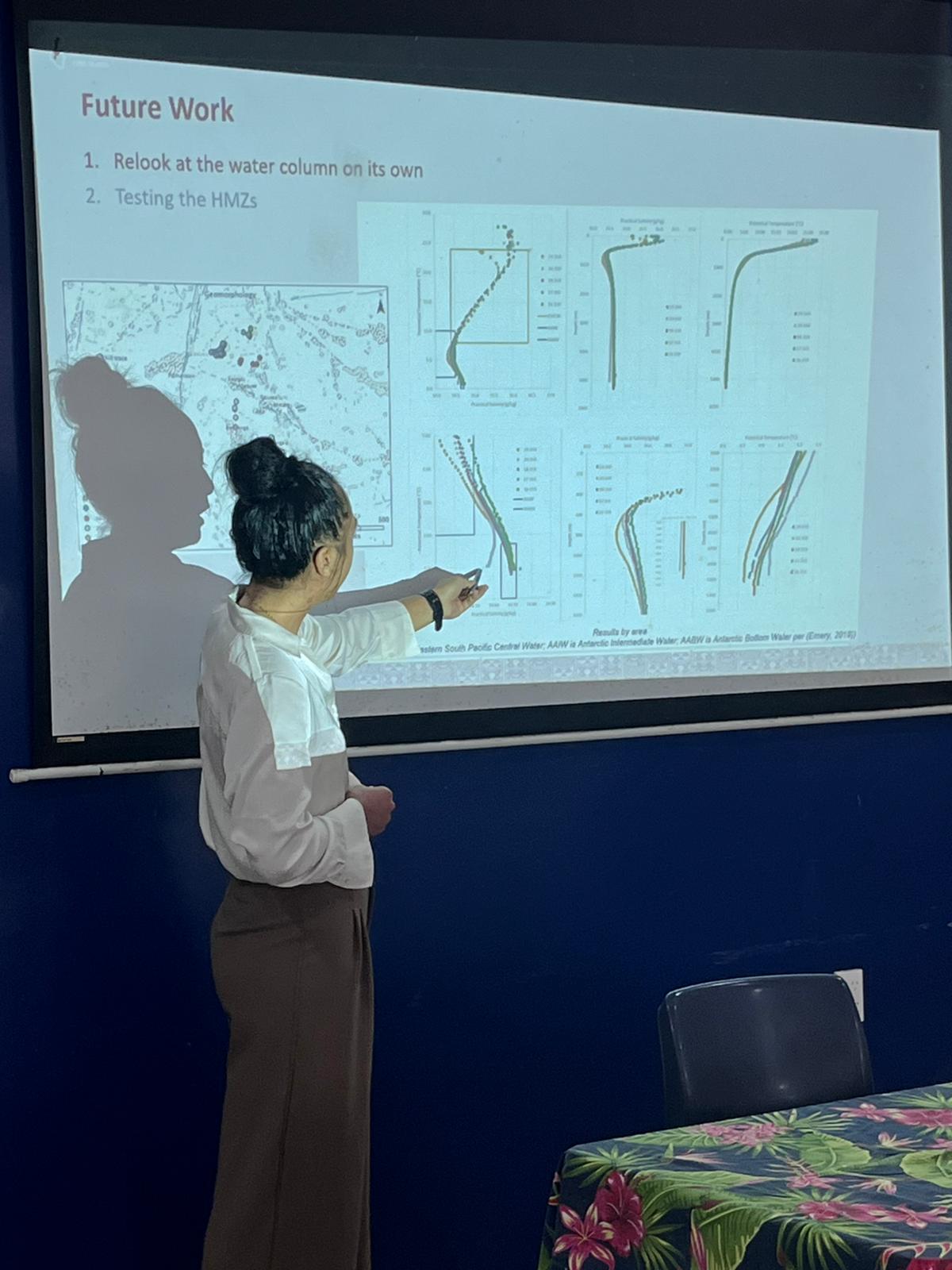
Photo: Group photo of participants at Cook Islands Bioscapes workshop

Photo: GIS specialists from IUCN and Cook Islands with participants

Photo: Wrapping up Cook Islands Bioscapes GIS workshop

Photo: Union Jack commemoration and celebration in Kiribati where IUCN was invited

Photo: Group photo of Bioscapes GIS workshop in Kiribati

Photo: Participants of the GIS workshop in Kiribati

Photo: Participants of the GIS workshop in Kiribati

In the Cook Islands, the Bioscapes GIS Capacity Building Workshop brought together representatives from key government departments such as the Marae Moana Coordination Committee, Infrastructure Cook Islands and National Environment Services to strengthen technical capabilities in spatial data analysis. The sessions focused on National Marine Spatial Plan (NMSP) steps and discussions around the various knowledge products created during as we go through the Cook Islands 13 step process to achieve their NMSP, building foundational GIS skills including data conversion, overlay analysis, and marine habitat mapping as well as practical insights into topics like seabed minerals, LiDAR mapping, and marine bioregions.
Speaking at the opening, Ms Elizabeth Wright-Koteka, Secretary of Infrastructure Cook Islands, highlighted the national relevance of the training. “GIS plays a vital role in guiding our marine planning and infrastructure decisions. With our ocean space being such a critical part of our identity and economy, building local capacity in marine spatial planning is not just a technical necessity - it’s a strategic priority for sustainable development.”, she said.
Two weeks later, a similar workshop was held in Tarawa, Kiribati, with technical officers from the Ministry of Environment, Lands and Agricultural Development (MELAD) participating in discussions and training on MSP principles, marine ecological areas, and spatial analysis using GIS. The workshop supported Kiribati’s progress toward its first National Marine Spatial Plan.
Nenenteiti Teariki-Ruatu, Director of MELAD’s Environment and Conservation Division, reflected on the importance of integrating technical expertise with community needs. “In Kiribati, the ocean is our lifeline. It supports our people’s livelihoods, traditions, and well-being, since time immemorial up to a contemporary Kiribati nowadays. These tools must be used in a way that reflects who we are, what we value, and how we want to care for our marine environment space now and into the future.”, she said.
The workshops were facilitated by IUCN Oceania’s marine team and tailored to the national contexts of each country. Beyond technical training, they also fostered inter-agency collaboration and promoted the integration of traditional knowledge with science-based decision-making.
Dr Shubha Singh, Marine Officer at IUCN Oceania, noted the shared commitment across both countries. “What we witnessed in Rarotonga and Tarawa was inspiring - local experts engaging deeply with spatial planning, asking critical questions, and connecting GIS with their everyday work. This kind of ownership is what drives real impact. It’s about equipping governments not just with tools, but with confidence to lead their own marine management journey.”, she highlighted.
Both workshops concluded on a high note. In Kiribati, the week ended with a cultural visit to Taratai village in North Tarawa, where IUCN Oceania was invited to join the national delegation in commemorating 133 years since the Union Jack was first raised; an event that symbolised the enduring connection between the people of Kiribati and their ocean.
Delivered under the Pacific Bioscapes Project, these workshops reflect a growing regional momentum for data-driven, community-informed marine spatial planning. Funded by the European Union and implemented by SPREP in partnership with IUCN Oceania, the project aims to empower Pacific Island countries to strengthen biodiversity conservation while advancing sustainable development and resilience across their marine and coastal ecosystems.

The Bangladesh Forest Department (BFD) and IUCN Bangladesh, with support from Agence Française de…

Each year, International Women's Day is an opportunity to recognise the women advancing change in…

On 14 January 2026, in Dhaka, the Bangladesh Forest Department and IUCN Bangladesh formally signed…