Collect Earth: Now part of the toolkit for The Restoration Initiative
Making digital technology and satellite imagery in land use assessment more accessible for forest landscape restoration
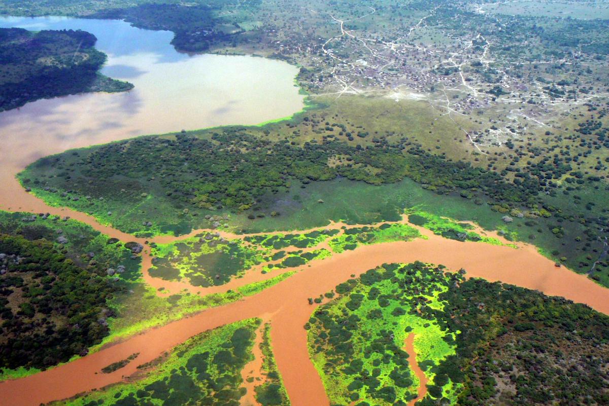
Photo: J. Nyunja / UNEP
Excerpt from a story orginally posted by FAO on 06/02/2020 on The Forest and Landscape Restoration Mechanism website
The pressure on land and natural resources is greater than at any other time in human history. In Kenya, rapidly increasing populations and rising levels of consumption, and the lack of alternatives for livelihoods are placing ever-larger demands on our natural capital leading to degradation, desertification, deforestation, biodiversity loss and climate change.
Many countries lack adequate financial resources and technical skills to prevent the causes of depletion of natural resources, and still rely on time-consuming and error-prone manual methods to monitor these processes. Through The Restoration Initiative programme, FAO and the United Nations Environment Programme (UNEP) have come together to bridge this gap by providing technical and financial support to ensure timely and efficient monitoring of land use changes through satellite imagery.
Digital technology and satellite imagery can transform the way countries can assess, monitor and plan the use of their natural resources, including monitoring deforestation and desertification. The technology offers wide coverage, is faster than ground methods and facilitates long term monitoring of land coverage and usage...
For the full article, please see http://www.fao.org/in-action/forest-landscape-restoration-mechanism/resources/detail/en/c/1258045/
Related content
Around the world, gender-based violence affects sustainable and equitable natural resource access...
Mangroves, salt marshes and seagrasses of international importance in Mozambique and Tanzania are...
IUCN MARPLASTICCs project Provides Institutional Frameworks Governing Marine Plastic Pollution to...

Suscríbase a un boletín de la UICN.