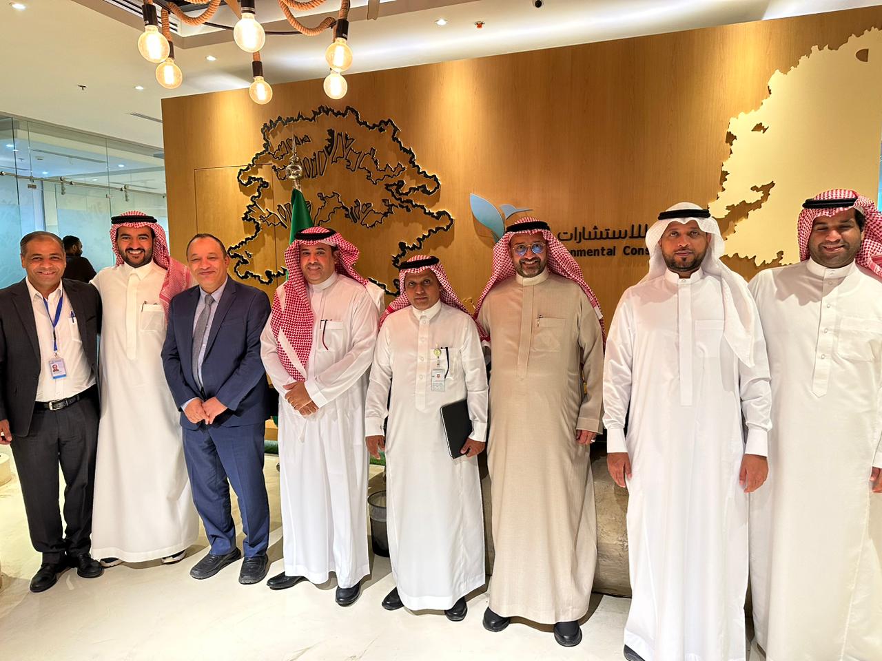
The restoration of degraded rangelands and rainwater harvesting project aims to conduct studies for identifying rainwater harvesting sites and identifying potential sites for restoration by cultivation, direct seeding, and protection. The project implements and conducts through Tilad for Environmental consultancy company with the supervision of the IUCN’s regional office for West Asia.
The project implements on 9 selected sites (ALQasseim, Hael, ALMadinah, Northern borders (Hammad basin), Mekkah, Eastern area, Joof, Mekka, and Riyadh), and lasts over 9 months starting from 01 January 2023 and ending 31 September 2023.
Projects Achievements:
- Produce digital maps for all targeted sites (9 sites). The digital maps include, for instance, the following maps:
- Digital Elevation Model (DEM) with a 30 m spatial resolution derived from the SRTM platform, as well as slope, aspect, hillside, roughness, drainage systems, basins, and soil maps.
- Land Cover map in accordance with Land Cover and Classification System (FAO) derived from the MODIS platform with 5 km spatial resolution and land cover threshold identified.
- Day and night average temperature derived from the MODIS platform with a 1 km spatial resolution from 2015-2023, and average rainfall derived from the CHIRPS platform from 2018-2023.
- Digital maps illustrate vegetation indices such as (normalized difference vegetation index (NDVI), Green Normalized Vegetation Index (GNDVI), Enhanced Vegetation Index (EVI), and Moisture Stress Index (MSI).
- Field survey for nine grazing sites namely; (ALQasseim, Hael, ALMadinah, Northern borders (Hammad basin), Mekkah, Eastern area, Joof, Mekka, and Riyadh). The surveys aim to determine plant checklists, key plant communities, species composition, species density, and species frequency), as well as identify soil characteristics and water analysis.
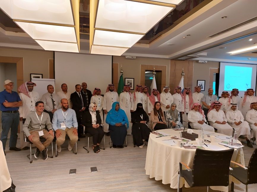
- Organize training workshop on plant survey and water harvesting from 07-10th May 2023. Almost 22 participants from the national center for vegetation development and combat desertification have joined the training.
- Studying the flora and fauna in the selected sites.
Project implemented and executed by: Tilad for Environmental Consultancy & The International Union for Conservation of Nature (IUCN).
Project Funded By: The National Center for Vegetation Development and Combat of Desertification (NCVC).